I’m coming clean (and sacrificing about 2000 cool-points)! Without The Lord of the Rings, my life would look completely different. Most importantly, I would never have discovered New Zealand – let alone chosen it as location for my massive thru-hike. I came to NZ for the first time in 2010 when I was 15 for a month of LOTR location scouting. We landed at Christchurch Airport and drove straight into the mountains to find Edoras. That night is one of my fondest memories, the stars shone so brightly that it wan’t even dark. After that first trip, I thought of New Zealand all day every day for four years, until I saved up to come back with my friends when I was 19. We repeated all the great locations and hiked the Routeburn Track, one of NZ’s great walks.
Walking the South Island Te Araroa trail in 2017 when I was 22 was hence my third time in the Land of the Long White Cloud, and I’m happy to say that the trail passes directly and semi-directly by a bunch of LOTR locations! Here’s to my fellow fantasy nerds, I hope you take the time to visit these stunning places on your long tramp through Middle Earth.
Casket river ride - Pelorus river
Technically not LOTR, but The Hobbit. The Richmond Ranges section of the TA follows the Pelorus river for the first couple of days going southbound. Despite sandfly pests, the river is amazing to swim in, with its deep green pools where you can see every pebble on the river bottom. It is here that the 12 dwarves floated downriver in ale caskets in The Desolation of Smaug. Anyone who has hiked the Richmonds will claim their adventure was at least as dramatic as Bilbo’s!
Edoras - mt sunday
In a vast grassy valley surrounded by snow-capped mountains lies a lonely hill. The bare mound in the wind-tunnel valley is called Mt Sunday. Here, the LOTR crew built Edoras, the capital of Rohan and seat of King Theoden for eight months, only to film for eight days before they tore it down again. Now, the only mark left besides the re-planted tussock and small yellow flowers is a white trigonometric point where hundreds of fans have carved in their names. Edoras is spectacular. Of all the locations, this is my favourite. There’s something so captivating about the solitary splendour of that inaccessible valley. It would make a great camp spot if it wasn’t for the crazy winds (that whipped director Peter Jackson’s glasses right off his face).
You’ll walk right past Edoras after passing Mt Potts Station on the Clearwater Track. If you lucked out with the weather (which I didn’t), you’ll be able to ford the braided Rangitata River in the middle of the valley. The water will likely be a gorgeous ultramarine blue because of the snowmelt sediments feeding down from the mountains. On the other side of the valley lies Mesopotamia Station, Bush Stream, and the entrance to the Two Thumb Range. But stay the night if you can. There is a reason why star-gazing tours are arranged in this area of Canterbury.
The Pelennor Fields & The Hobbit orc attack– Twizel & Mount Cook
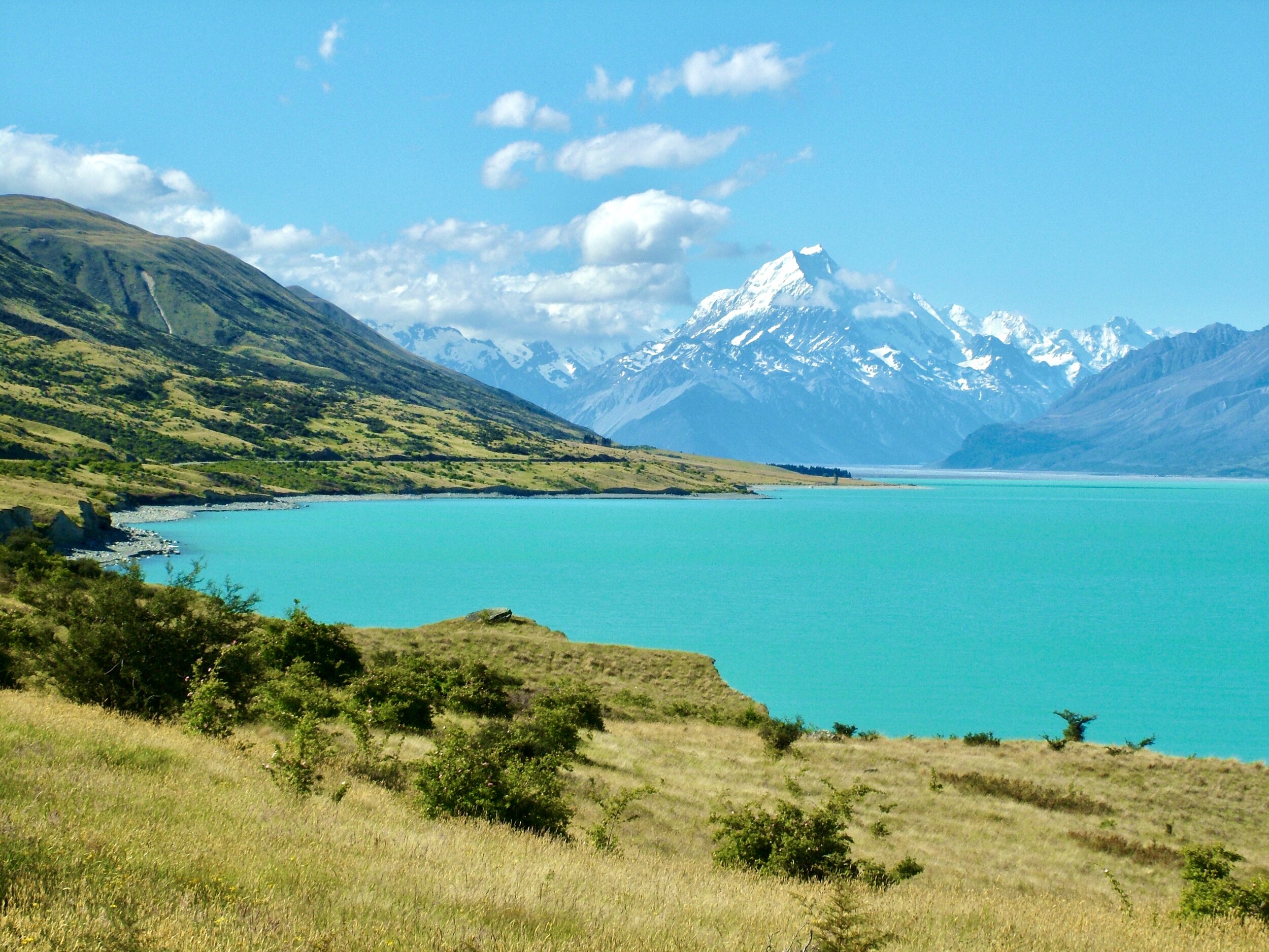
The road to Mt Cook Village is absolutely breathtaking
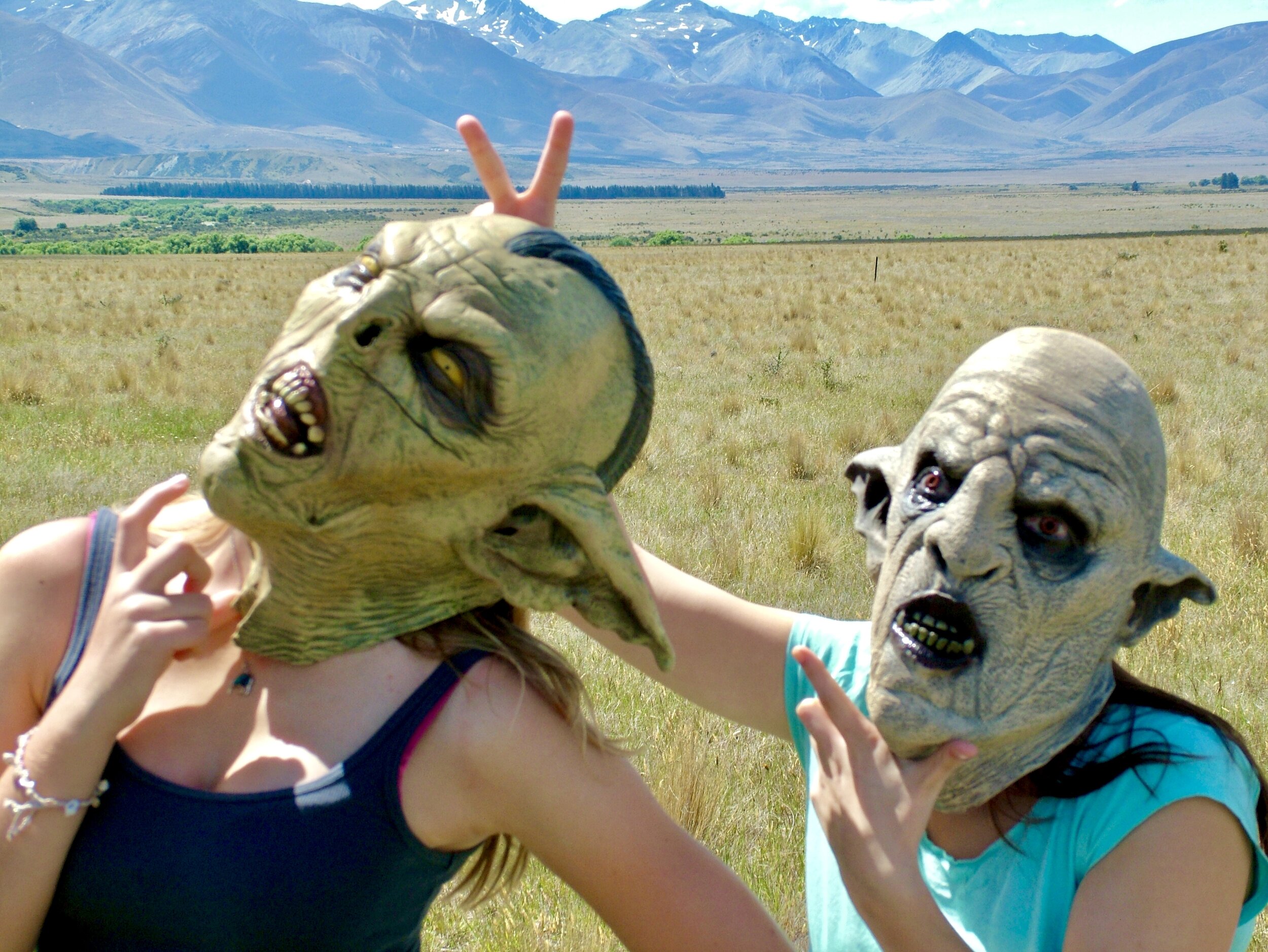
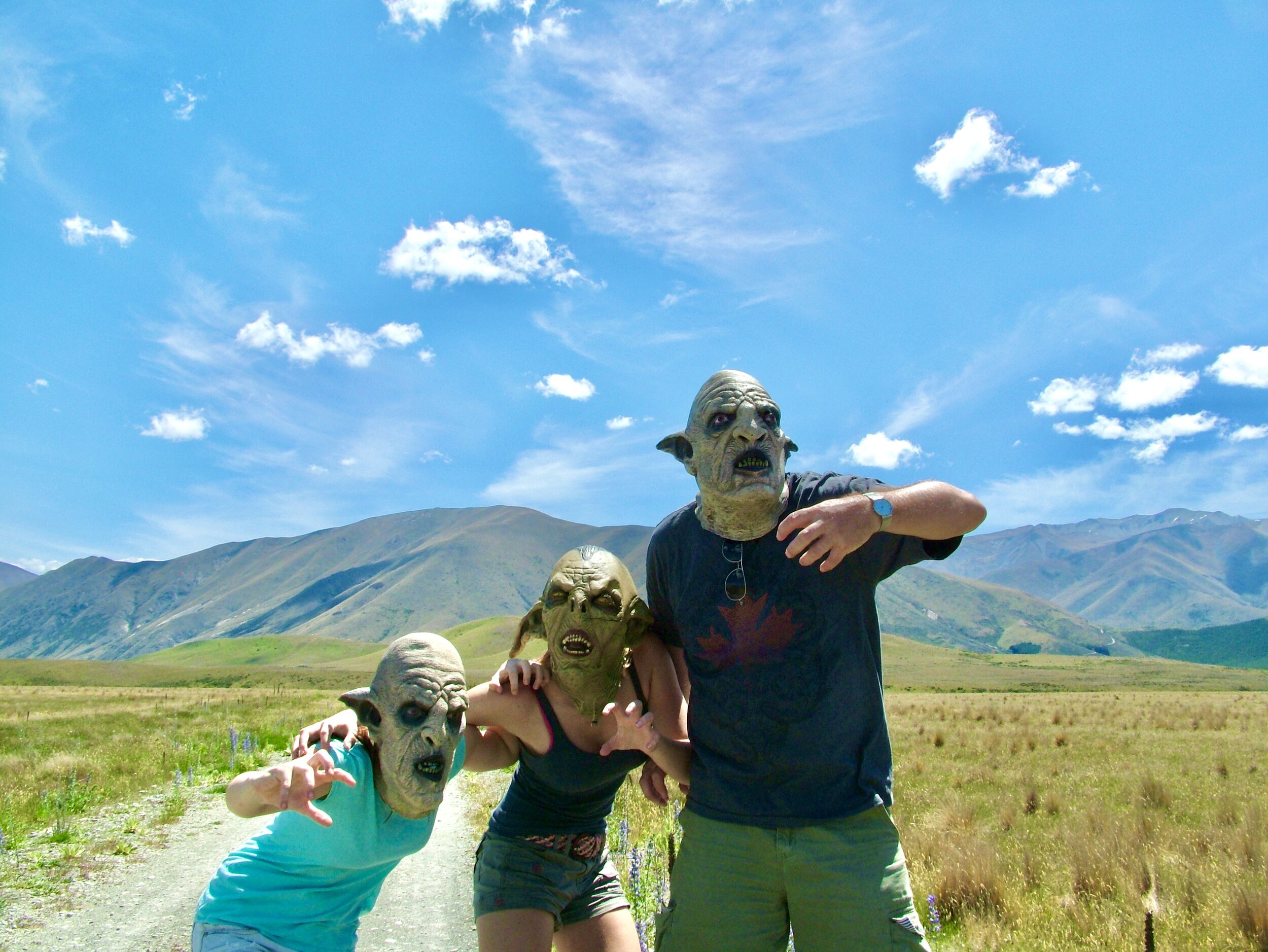
Your TA hike now enters the Mackenzie Basin, home to the town of Twizel and its 2000 inhabitants. If you took my earlier advice, you will have biked the 63 km here from Lake Tekapo to save yourself two days of gravel road walking. Twizel itself isn’t that novel, but the surrounding area boasts some of the best scenery in New Zealand: the stunningly turquoise Lake Pukaki and Oceania’s tallest mountain, Mt Cook. Just outside the town centre lies a vast grassy plain. It gets bakingly hot in summer, the grass is usually scorched brown all season. Just behind Twizel towards Mt Cook lies Braemar Station, the backdrop for the orc chase in The Hobbit: An Unexpected Journey.
Yes, the dude on the right is my dad. He was 54 in this pic!
Importantly, Twizel is home to one of the most popular LOTR tours in New Zealand. For real fans, the guided tour (which you can book at the iSite in Twizel) is not to be missed. You get to play around with all the battle props from The Return of the King, talk to extras who played orcs, drive at the speed of the Rohirrim charge aross the plains. A guy famously proposed to his Éowyn-clad girlfriend while wielding a Rohan sword here! #lifegoals
The argonaths - kawarau river gorge
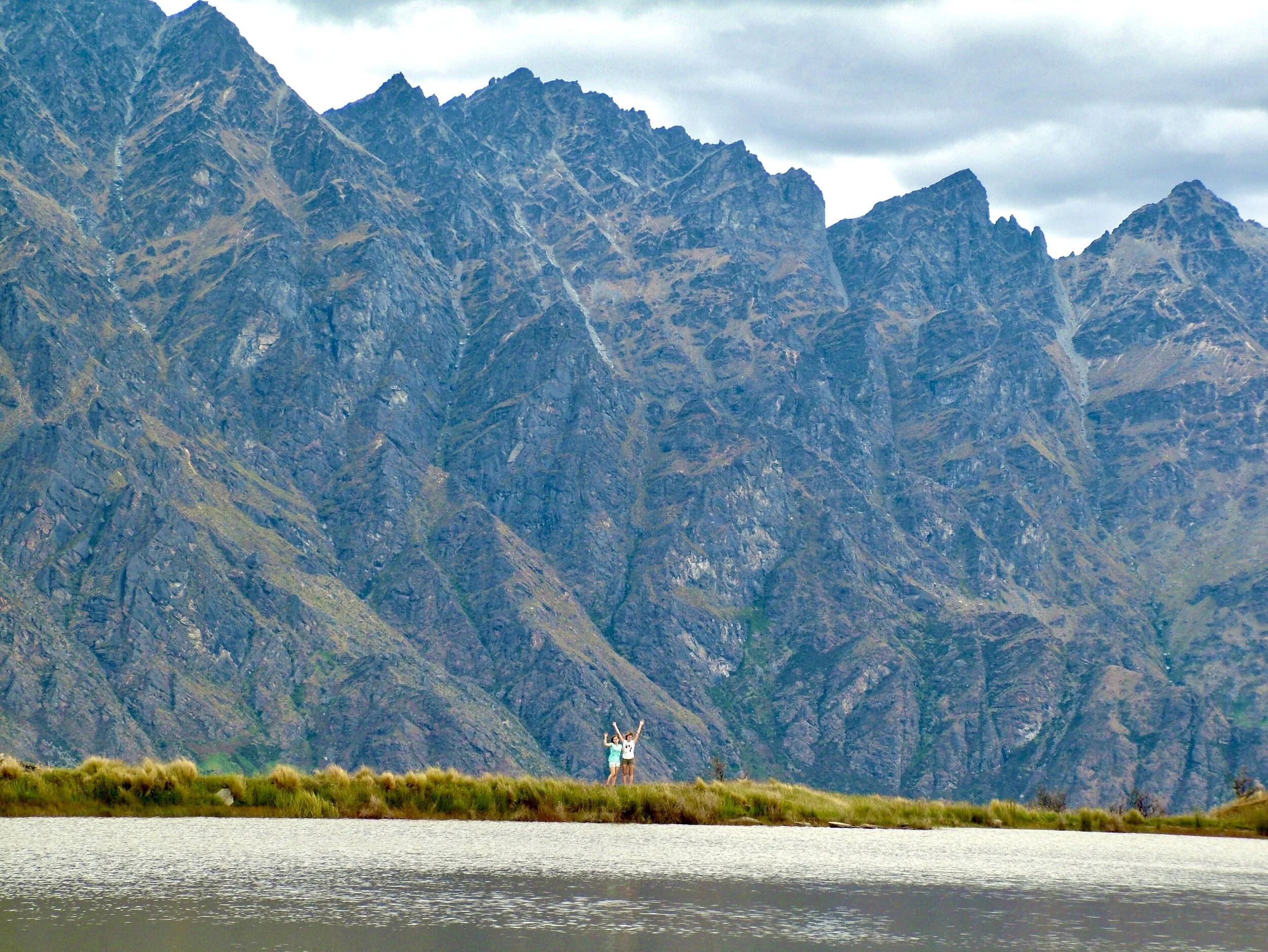
Once you enter Otago, the locations come fast and close. Queenstown was the hub for South Island locations, anyone who has been there will see why. The vibrant town lies crowned by the Remarkables mountains - a stone’s throw away from countless wild spots you’ll recognise from the trilogy. You cross the Kawarau River (a jet boat journey here is also highly recommended) on your way into Queenstown from Arrowtown after you’ve completed the Motatapu Track. The Kawarau feeds into Lake Wakatipu, the large blue lake which Queenstown is built around. However, a few miles back upstream by bus or a hitchhike, is the greenstone-coloured Kawarau River Gorge.
The location for the River Anduin and the Argonath Statues from The Fellowship of the Ring also happens to be the world’s first commercial bungy jump. It’s a 43 m jump, so perfect for beginners seeking an adrenaline rush Middle Earth style.
ered nimrais - deer park heights
Remember the road to Helm’s Deep just before the warg attack in The Two Towers? The long line of Rohan’s people making their way around a crystalline lake mirroring the Alp-like mountains shooting up into the sky? These mountains are the Remarkables in winter. The Ered Nimrais (the White Mountains) stretch from Rohan and into Gondor, and there is also a brief scene from here when Gandalf and Pippin ride to Minas Tirith. Aragorn’s unfortunate warg ride, Legolas’ famous horseback vault, Éowyn’s stew, the trio’s exit from the Paths of the Dead… all here.
Happy donkey
Now, Deer Park Heights (also known as Kelvin Heights) can be a little tricky. It’s essentially a giant hill just outside of Queenstown which has now been converted into low-key grazing grounds for… exotic animals. It’s a good hike up to the top, but be prepared to sneak through a few enclosures to reach the alpine lake. You may see everything from darling baby alpacas to slightly more unsettling creatures. I’ll never forget my dad’s face the moment he realised we had climbed right into the bison enclosure. “RUN!”
ithilien - 12 mile delta
The “Wakatipu hazard zone” marked in the trail notes isn’t really hazardous at all, but you’ll have to hitch or take a shuttle to the next trailhead to begin the Greenstone Track after you leave Queenstown. I’ve always thought it would be grand to paddle the length of the lake, but it would probably take forever. On the road to Glenorchy you pass an easily-missed turnoff to 12 Mile Delta. It is here Gollum catches the rabbits in The Two Towers and Frodo & Sam encounter Faramir after the Haradrim/oliphant attack. 12 Mile Delta is a lush river delta that’s just pristine in early summer. Yellow flowers sprout from the bushes that frame the river’s sandy banks. The surrounding landscape is still mountainous and there is a small campsite for those not in a rush to reach Glenorchy.
Lothlórien, Isengard, the Misty Mountains – Paradise & Glenorchy
Sterling and I on the 3 hr Trilogy Loop ride at Dart Stables
Also one of my favourite spots in all of New Zealand. Please stay a day or two in Glenorchy, there is just too much stuff here that can’t be missed! Glenorchy is home to a few dozen people and a few hundred horses. It’s the gateway to Paradise (literally), a wilderness area stretching into the famous mountains of the Routeburn Track. Regardless of whether you are an equestrian or not, you have to book a ride with Dart Stables. They take you riding through Lothlórien, beneath the Misty Mountains, and you get to wade in the braided Rees and Dart rivers – the opening scene location from The Chronicles of Narnia: Prince Caspian. Heck, their horses are featured in the movies too! I had the hands-down happiest moment of my life galloping along the Dart River’s banks atop a magnificent white Thoroughbred named Sterling (10 years ago now!).
The beech forests of Paradise are so Lothlórien, eerily quiet…
There are endless opportunities to hike, go kayaking, swim, and climb some mountain peaks to see Isengard from above. Oh yeah, and Beorn’s house is here too. Glory days!
Anduin, the breaking of the fellowship – Mavora Lakes
My own fellowship had broken just a couple of days before I walked these shores alone
At the end of The Fellowship of the Ring, after Boromir has died and Frodo and Sam are having their almost-drowning standoff, they’re rowing across a calm lake on the edge of a forest. This lake is North Mavora Lake, and you will be walking alongside it all morning from Carey’s Hut to Mavora campground. It’s a beautiful walk. You’re crowned in by green mountains, lush beech forest on you left, walking the pale pebbly banks for 10 km. It’s probably one of the most recognisable but least thought of locations of all. By this time, you’ll probably feel a bit weary as you are entering Southland and your journey is soon coming to an end. Depending on whether you walked the South Island or the whole trail, you will have between 1000 and 2600 km behind you. You’re almost at the Grey Havens - Bluff!
I Aear cân ven na mar.


